


Future Tech
Air quality information comes to Google Maps

Google has added a new feature to its Maps mobile application that shows users the air quality nearby. For now, this data is only available in the United States.
Google Maps now lets users check the air quality nearby, both on its Android and iOS version. This information is displayed in the form of a new map layer, like those showing public transportation, bike paths or traffic conditions.
To access the air quality layer, click on the icon showing the various map layers, then select “Air Quality” in the “Map Details” section. The information will then automatically appear on the map, in the relevant areas, with a colour code and an index showing recently measured air quality findings. Scrolling down the results offers a more detailed view of the air quality throughout a neighbourhood or city.
Note that for the United States - the only country where this data currently appears - information is provided by the Environmental Protection Agency and the PurpleAir network of atmospheric sensors measuring the amount of pollutants in the air.
In the future, this service could become international, and mobile users could soon be able to check the local air quality in their region thanks to data provided by local partners.
- AFP Relaxnews
More articles on Future Tech
Equinix raises annual adjusted core earnings forecast on strong data center demand
Created by Tan KW | Aug 08, 2024
Bumble forecasts third-quarter revenue below estimates; shares slump
Created by Tan KW | Aug 08, 2024
AMD’s latest desktop CPUs feature lower prices yet again as Intel readies a fightback
Created by Tan KW | Aug 08, 2024
5nm, China's core equipment exposed, which can counter at critical moments!
Created by Tan KW | Aug 08, 2024
Starliner latest: NASA outlines options to rescue Boeing pilots stuck on space station
Created by Tan KW | Aug 08, 2024
Under-fire Elon Musk urged to get a grip on X and reality – or resign
Created by Tan KW | Aug 08, 2024
Discussions
Be the first to like this. Showing 0 of 0 comments
Post a Comment
Featured Posts
Introducing MY's First IPO Fund for Sophisticated Investors!
New Update. Discover investment communities that resonate with your ideas
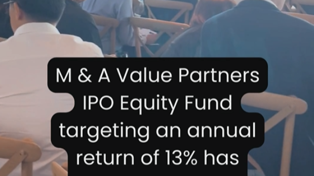
M & A Value Partners IPO Equity Fund has been launched - Targeted 13% Return p.a
Latest Videos

Apps


Top Articles
1
CEO Morning Brief
2
ombak
3
Genetec - A baby step
5
CEO Morning Brief
Nearly 8 Mil Cape EMS Shares Traded Off-market Amid Selling Pressure
6
7
CEO Morning Brief
#
Stock
Score
Daily Stocks
Stock Name
Last
Change
Volume
Stock Name
Last
Change
Volume
MQ Trading Signals
Stock
Time
Signal
Duration
Stock
Time
Signal
Duration
Featured Advertisers / Partners


Ride The Bull Short The Bear
CS Tan
4.9 / 5.0
This book is the result of the author's many years of experience and observation throughout his 26 years in the stockbroking industry. It was written for general public to learn to invest based on facts and not on fantasies or hearsay....